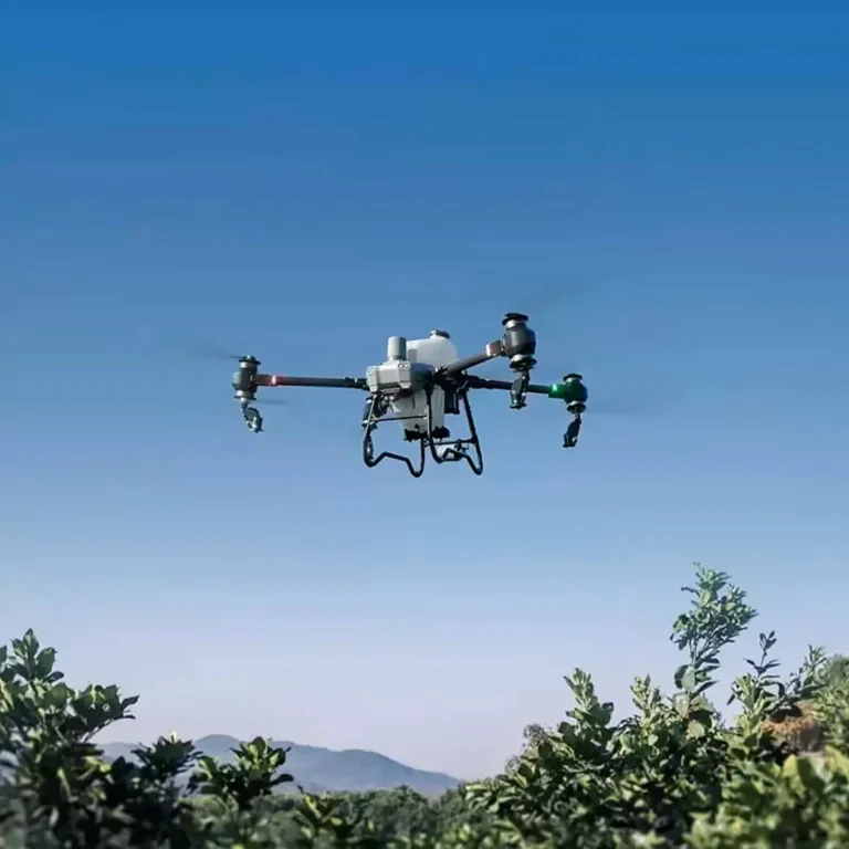
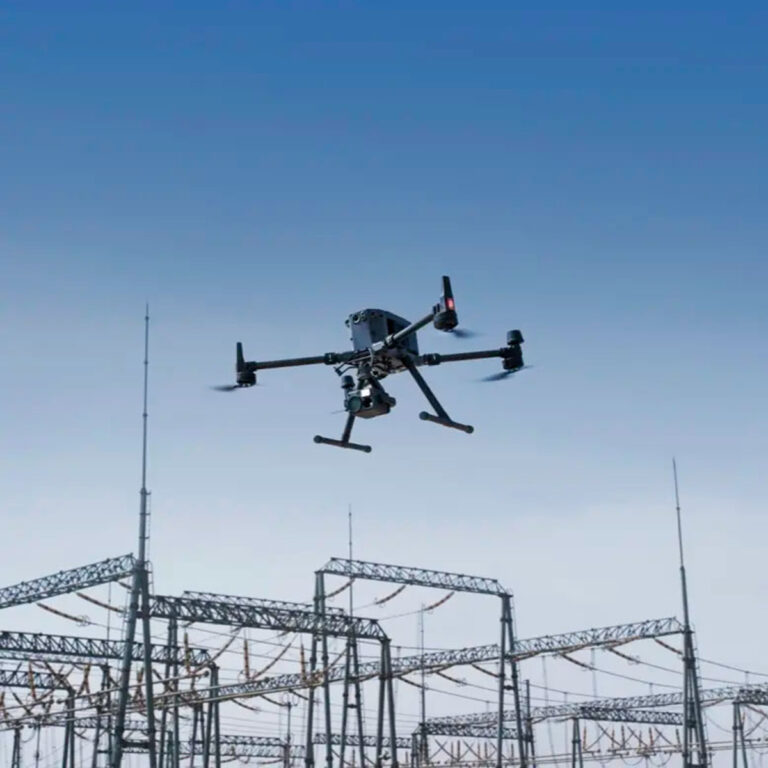
Aircraft
Takeoff Weight | 1391 g |
Diagonal Distance | 350 mm |
Max Service Ceiling Above Sea Level | 19685 ft (6000 m) |
Max Ascent Speed | 6 m/s (automatic flight); 5 m/s (manual control) |
Max Descent Speed | 3 m/s |
Max Speed | 31 mph (50 kph)(P-mode) |
Max Flight Time | Approx. 30 minutes |
Operating Temperature Range | 32° to 104° F (0° to 40℃) |
Operating Frequency | 2.400 GHz to 2.483 GHz (Europe, Japan, Korea) |
Transmission Power (EIRP) | 2.4 GHz |
Hover Accuracy Range | RTK enabled and functioning properly: |
Image Position Offset | The position of the camera center is relative to the phase center of the onboard D-RTK antenna under the aircraft body’s axis:(36, 0, and 192 mm) already applied to the image coordinates in Exif data. The positive x, y, and z axes of the aircraft body point to the forward, rightward, and downward of the aircraft, respectively. |
Mapping Functions
Mapping Accuracy ** | Mapping accuracy meets the requirements of the ASPRS Accuracy Standards for Digital Orthophotos Class Ⅲ |
Ground Sample Distance(GSD) | (H/36.5) cm/pixel, |
Data Acquisition Efficiency | Max operating area of approx. 1 km² for a single flight(at an altitude of 182 m, i.e., GSD is approx. 5 cm/pixel, meeting the requirements of the ASPRS Accuracy Standards for Digital Orthophotos Class Ⅲ |
Vision System
Velocity Range | ≤31 mph(50 kph) at 6.6 ft(2 m) above ground with adequate lighting |
Altitude Range | 0-33 ft(0 – 10 m) |
Operating Range | 0-33 ft(0 – 10 m) |
Obstacle Sensing Range | 2-98 ft(0.7-30 m) |
FOV | Forward/Rear: 60° (horizontal), ±27° (vertical) |
Measuring Frequency | Forward/Rear:10 Hz; |
Operating Environment | Surfaces with clear patterns and adequate lighting(> 15 lux) |
Camera
Sensor | 1″ CMOS; Effective pixels: 20 M |
Lens | FOV 84°;8.8 mm / 24 mm(35 mm format equivalent:24 mm); |
ISO Range | Video:100-3200(Auto) |
Mechanical Shutter Speed | 8 – 1/2000 s |
Electronic Shutter Speed | 8 – 1/8000 s |
Max Image Size | 4864×3648(4:3); |
Video Recording Modes | H.264,4K:3840×2160 30p |
Photo Format | JPEG |
Video Format | MOV |
Supported File Systems | FAT32(≤ 32 GB); |
Supported SD Cards | MicroSD, Max Capacity: 128 GB. Class 10 or UHS-1 rating required Write speed≥15 MB/s |
Operating Temperature Range | 32° to 104° F (0° to 40℃) |
Intelligent Flight Battery(PH4-5870mAh-15.2V)
Capacity | 5870 mAh |
Voltage | 15.2 V |
Battery Type | LiPo 4S |
Energy | 89.2 Wh |
Net Weight | 468 g |
Charging Temperature Range | 14° to 104℉(-10° to 40℃) |
Max charging Power | 160 W |
Intelligent Battery Charing Hub(WCH2)
Input Voltage | 17.3 – 26.2 V |
Output Voltage and Current | 8.7 V,6 A;5 V,2 A |
Operating Temperature | 41° to 104℉(5° to 40℃) |
GNSS
Single-Frequency, High-Sensitivity GNSS Module | GPS+BeiDou+Galileo*(Asia); |
Multi-Frequency Multi-System High-Precision RTK GNSS | Frequency Used: |
Gimbal
Stabilization | 3-axis (tilt, roll, yaw) |
Pitch | -90° to +30° |
Max Controllable Angular Speed | 90°/s |
Angular Vibration Range | ±0.02° |
Infrared
Obstacle Sensing Range | 0.6-23 ft(0.2 – 7 m) |
FOV | 70°(Horizontal) |
Measuring Frequency | 10 Hz |
Operating Environment | Surface with diffuse reflection material, and reflectivity> 8%(such as wall,trees, humans, etc.) |
Remote Controller
Operating Frequency | 2.400 GHz-2.483 GHz(Europe,Japan,Korea) |
Transmission Power (EIRP) | 2.4 GHz |
Max Transmission Distance | FCC:4.3 mi(7 km); |
Power Consumption | 16 W(typical value) |
Display | 5.5 inch screen, 1920×1080, 1000 cd/m², Android System |
Operating Temperature Range | 32° to 104° F (0° to 40℃) |
Intelligent Flight Battery Charging Hub(PHANTOM 4 CHARING HUB)
Voltage | 17.5 V |
Operating Temperature Range | 41° to 104℉(5° to 40℃) |
Capacity | 4920 mAh |
Voltage | 7.6 V |
Battery Type | LiPo 2S |
Energy | 37.39 Wh |
Operating Temperature | -4° to 104℉(-20° to 40℃) |
AC Power Adapter(PH4C160)
Voltage | 17.4 V |
Rated Power | 160 W |